
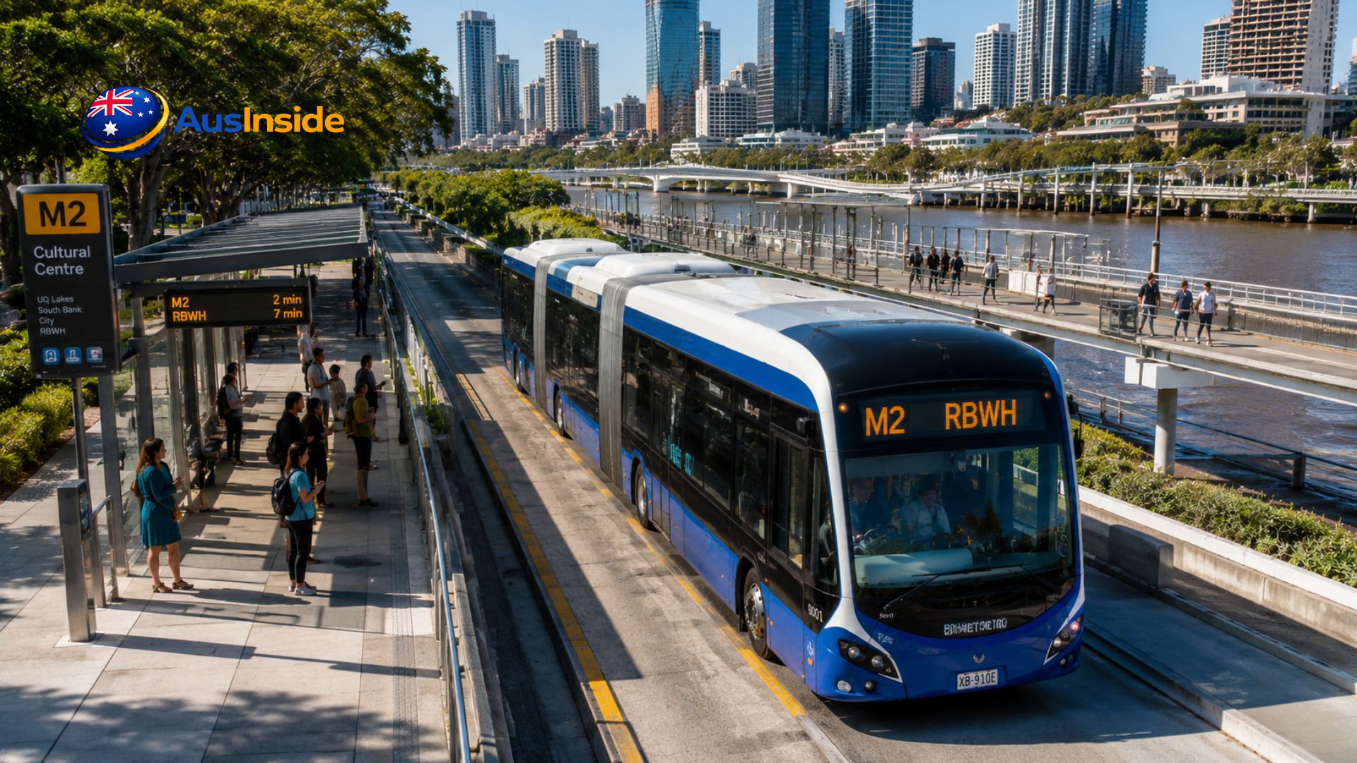
The M2 is Brisbane’s busiest new transit route — a high-frequency electric service running between UQ Lakes and Royal Brisbane and Women’s Hospital (RBWH) through the CBD every 5 minutes at peak. It costs a flat 50 cents per trip, covers 12 stations in about 27 minutes, and passed 3 million total trips less than eight months after launch. Here’s everything you need before you tap on — including a few things most guides to this route leave out.
- What Is Brisbane Metro M2, Exactly?
- Full M2 Stop List (UQ Lakes → RBWH)
- Frequency and "Timetable"
- What the M2 Actually Costs
- Step-by-Step: Riding the M2
- M2 vs M1: Which Route Do You Actually Need?
- The Numbers Nobody Tells You
- Who Should Actually Use M2 (And Who Shouldn't)
- What Future Expansion Means for Current Riders
- Brisbane Metro M2 FAQs
What Is Brisbane Metro M2, Exactly?
Before anything else, one clarification most articles skip: M2 is not a train. It’s a bus rapid transit (BRT) service — a bi-articulated electric vehicle running on Brisbane’s dedicated busway network, not on rail. According to Wikipedia’s technical overview, it doesn’t meet the International Association of Public Transport’s formal definition of a “metro” because it uses buses rather than trains. Transport commentators, including Brisbane Times, have publicly debated whether the “Metro” branding is misleading. If you came expecting an underground rail system, this is closer to Sydney’s B-Line or a European BRT corridor.
That distinction matters practically: M2 shares road-adjacent busway infrastructure, so it can still be affected by traffic incidents near intersections, unlike a fully grade-separated rail metro.
Verified specs:
| Detail | Figure | Source |
| Route | UQ Lakes ↔ RBWH | Brisbane City Council |
| Launch date | 28 January 2025 | Wikipedia |
| Stops served | 12 | Moovit |
| Trip duration | ~27 minutes end to end | Moovit |
| Vehicle | HESS lighTram25, bi-articulated electric, up to 150 passengers | Grokipedia / Brisbane Metro |
| Fleet cost | $190 million for 60 vehicles | Wikipedia |
| Fare | Flat 50 cents per journey | Translink |
Full M2 Stop List (UQ Lakes → RBWH)
| # | Station | Platform | Connects To |
| 1 | UQ Lakes Station | A | University of Queensland |
| 2 | Boggo Road Station | P4 | Boggo Road Urban Village |
| 3 | PA Hospital Station | P1 | Princess Alexandra Hospital |
| 4 | Mater Hill Station | P1 | Mater Hospital, South Brisbane |
| 5 | South Bank Station | P5 | South Bank Parklands |
| 6 | Cultural Centre Station | P1 | QPAC, GOMA, State Library |
| 7 | King George Square | 1c | Brisbane City Hall, CBD |
| 8 | Roma Street | P1 | Roma Street train station, interstate rail |
| 9 | Normanby Station | P2 | Inner-north CBD fringe |
| 10 | QUT Kelvin Grove Station | P2 | QUT Kelvin Grove campus |
| 11 | Herston Station | P2 | Herston medical precinct |
| 12 | RBWH Station | P2 | Royal Brisbane and Women’s Hospital |
Run the sequence in reverse for RBWH → UQ Lakes. For live positions rather than a static list, use the Translink journey planner directly — the M2 doesn’t publish a fixed timetable in the traditional sense (more on that below).
If you’re planning a wider trip across Brisbane’s transit network, ausinside.com’s guide to getting around Brisbane without a car is worth checking before you go, since it maps how M2 connects into ferries, CityCats, and the rail network beyond this one corridor.
Frequency and “Timetable”
Most competitor articles present the M2 like it runs on a fixed printed timetable. It doesn’t — it runs on a turn-up-and-go frequency model, confirmed by Brisbane City Council’s own service description:
- Weekday peak: every 5 minutes
- Weekday off-peak: roughly every 7–10 minutes
- Weekends: 24-hour service, all day and night
Checking a fixed timetable for M2 wastes time you don’t need to spend. Turn up, check the live display, board.
What the M2 Actually Costs
Every Translink service in South East Queensland — including M2 — currently runs a flat 50-cent fare per journey once you tap on and off, per Translink’s official go card page.
| Payment | Fare | Notes |
| go card | $0.50 | Tap on and off required at platform readers |
| Contactless bank card / phone | $0.50 | Identical rate, no card purchase needed |
| Cash | Not accepted | Stations are tap-only |
What most guides don’t tell you: the go card itself is being phased out. According to Wikipedia’s go card entry, a new “Translink card” system is scheduled to replace it during 2026, so if you’re setting up transit payment for the first time this year, a contactless bank card is the more future-proof option — it works identically today and won’t need replacing.
Also worth knowing: forgetting to tap off can trigger a default maximum fare charge even under the flat-fare scheme. Tap off every single time, at the platform reader — not on the vehicle.
Step-by-Step: Riding the M2
- Go to a Brisbane Metro station — M2 only stops at the 12 dedicated stations, not regular street bus stops.
- Check the live digital board for the next M2 and confirm direction (toward RBWH or UQ Lakes).
- Tap on at the platform reader before boarding — not on the vehicle.
- Board through any door — unlike a standard single-door city bus.
- Watch the onboard screen for your stop.
- Tap off at the platform reader when you exit.
That last step catches out first-timers coming from other cities: tap-off happens on the platform, not inside the vehicle.
M2 vs M1: Which Route Do You Actually Need?
| Feature | M2 | M1 |
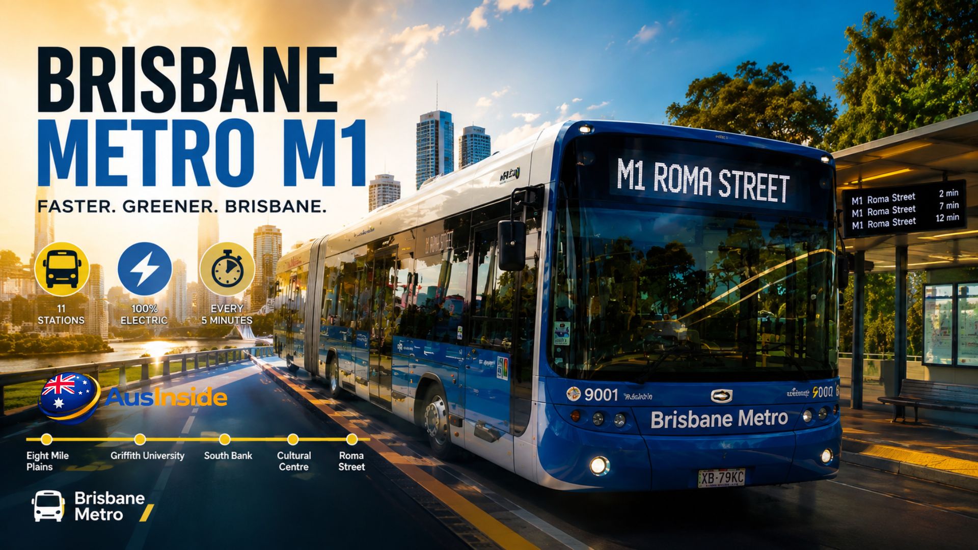
| Endpoints | UQ Lakes ↔ RBWH | Eight Mile Plains ↔ Roma Street |
| Launched | 28 January 2025 | 30 June 2025 |
| Best for | University + hospital precinct + CBD | Southern suburbs commuting into CBD |
| Shared stations | Cultural Centre, King George Square, Roma Street | Same |
If your trip runs south past South Bank, you want M1. If it’s UQ, the hospital precincts, or the CBD core, M2 is direct.
The Numbers Nobody Tells You
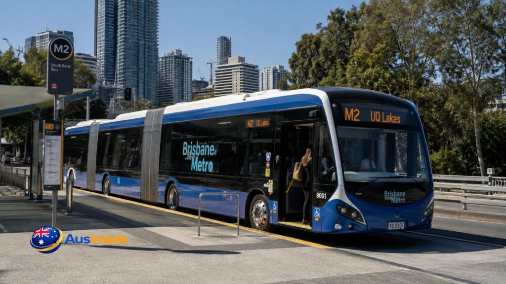
Most M2 content stops at “it’s fast and it’s cheap.” The actual performance data tells a more complete story:
- 1 million passengers were carried in the first three months of operation, per Bus News Australia.
- Patronage rose 44% year-on-year in a single measured period (15 March–3 April), compared to the old bus route it replaced.
- M2 replaced the former bus route 66, lifting daily capacity by 9,200 passengers, according to the same Bus News report.
- 3 million total trips were recorded within eight months of the M2 launch.
- Combined, M1 and M2 are forecast to deliver 30 million extra seats per year across the network.
- Despite this growth, Brisbane’s wider bus network has faced public scrutiny — commentary referencing “top 30 most cancelled Brisbane bus routes” between January 2024 and February 2025 shows the M2 corridor exists inside a network still working through reliability issues elsewhere.
- The flat 50-cent fare scheme has itself been politically contested, with council and state government publicly disputing funding responsibility — search coverage refers to this as the “’50c fail’” dispute.
None of this changes whether you should ride the M2 today. It does mean you’re using a still-maturing system, not a finished one, and delays or fare-policy shifts are realistically possible before the planned network expansion.
Who Should Actually Use M2 (And Who Shouldn’t)
Use it if you’re:
- A UQ or QUT Kelvin Grove student commuting into the city
- A patient, visitor, or staff member at PA Hospital, Mater Hill, or RBWH — the M2 is the fastest public link between all three
- Heading to South Bank Parklands, QPAC, or GOMA from the university side of the river
- A CBD commuter starting from South Bank or Boggo Road
Skip it if:
- Your destination is more than a short walk from one of the 12 fixed stations — M2 doesn’t deviate off its busway corridor the way a flexible bus route can
- You need to reach Brisbane Airport directly — you’ll need to transfer to Airtrain from Roma Street or a CBD station, since M2 has no direct airport link
What Future Expansion Means for Current Riders
Brisbane City Council is currently developing a business case with state and federal government to extend the metro network to the north, east, further south, and Brisbane Airport, according to the council’s official expansion page. Four priority corridors are under review, including a Southern Metro corridor connecting to M1 at Eight Mile Plains.
For M2 riders specifically, this means two practical things: station upgrades at Mater Hill and dynamic platform allocation have already been pushed back in planning documents, with some technical upgrades not expected until the 2030s and 2040s. Don’t expect major infrastructure changes at existing M2 stations in the near term — the network’s expansion focus is on new corridors, not upgrading the ones already running.
Brisbane Metro M2 FAQs
Is Brisbane Metro M2 actually a train?
No. It’s an electric bi-articulated bus running on dedicated busway lanes. It does not meet the international technical definition of a rail metro.
Does the M2 run 24 hours?
Only on weekends. Weekday services run at high frequency during the day and taper off late at night.
Can I use my regular go card on M2?
Yes, the same go card and contactless payment system covers Brisbane Metro, buses, trains, and ferries across South East Queensland.
Is the go card being replaced?
Yes. A new Translink card system is scheduled to replace go card during 2026. Contactless bank card payment already works identically on M2 and isn’t affected by the transition.
Does M2 connect to Brisbane Airport?
Not directly. Transfer to Airtrain from Roma Street or a central station.
Is M2 wheelchair accessible?
Yes — level boarding with no steps between platform and vehicle floor at all 12 stations.
How reliable is the M2 compared to the old bus 66 route it replaced?
Patronage and capacity data show clear growth, but the wider Brisbane bus network — which M2 connects into — has had public reliability criticism, so occasional disruption near shared intersections is possible even though M2 itself runs on dedicated lanes for most of its route.